Choose your study area
Search for a place, use your location, enter coordinates, or load a province or KML boundary.
 Study Site
 Mapper is an area mapper for research, planning, education, and site analysis. Define a study area, explore ready-to-load thematic layers, review available statistics, and export a polished map in a few taps.
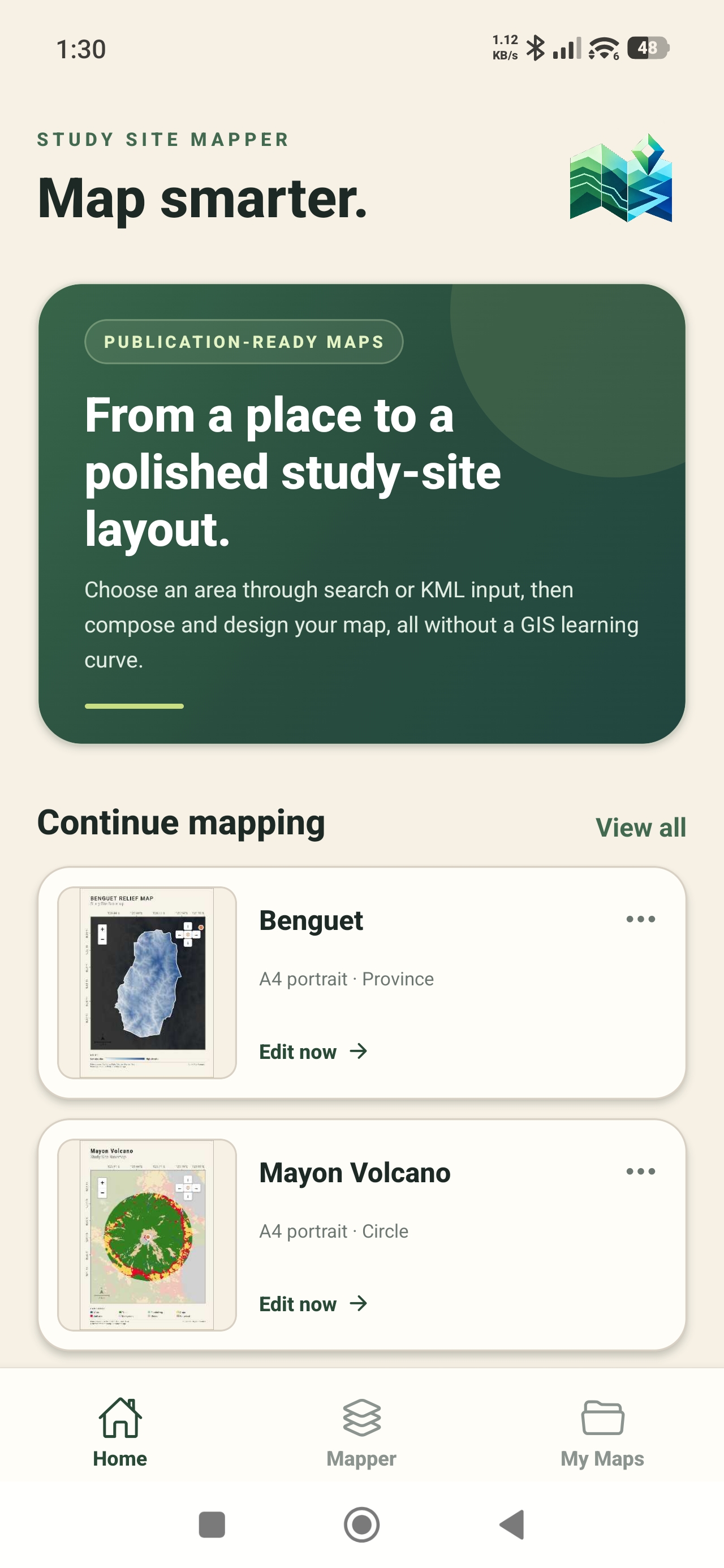
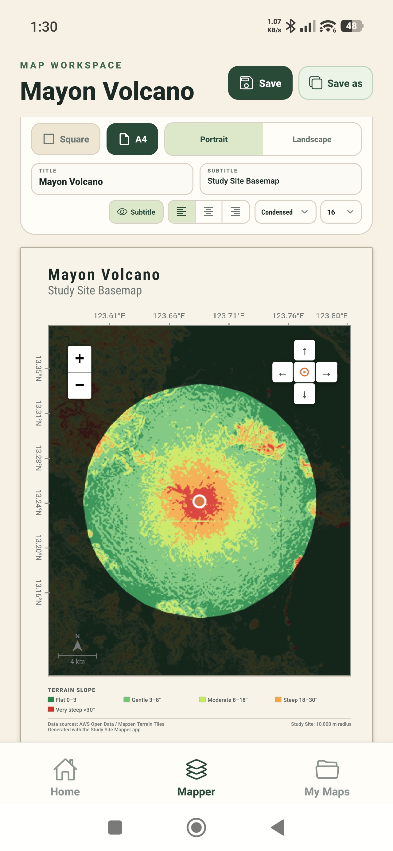
Map smarter, faster using your phone. One app for study-area selection, thematic maps, mapped-area statistics, and PNG or PDF export.
No GIS learning curve required. Move from location to clear, presentable output without leaving the app.
Search for a place, use your location, enter coordinates, or load a province or KML boundary.
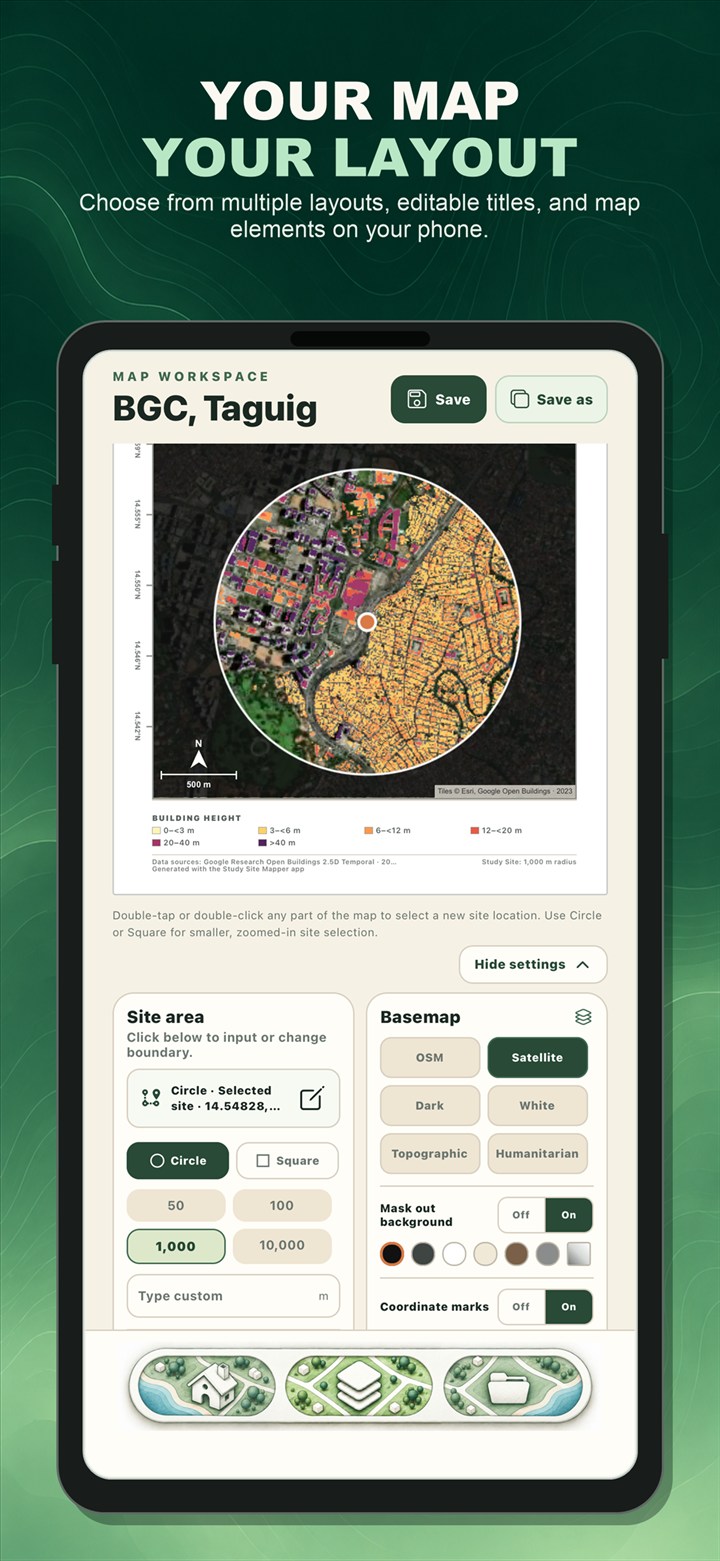
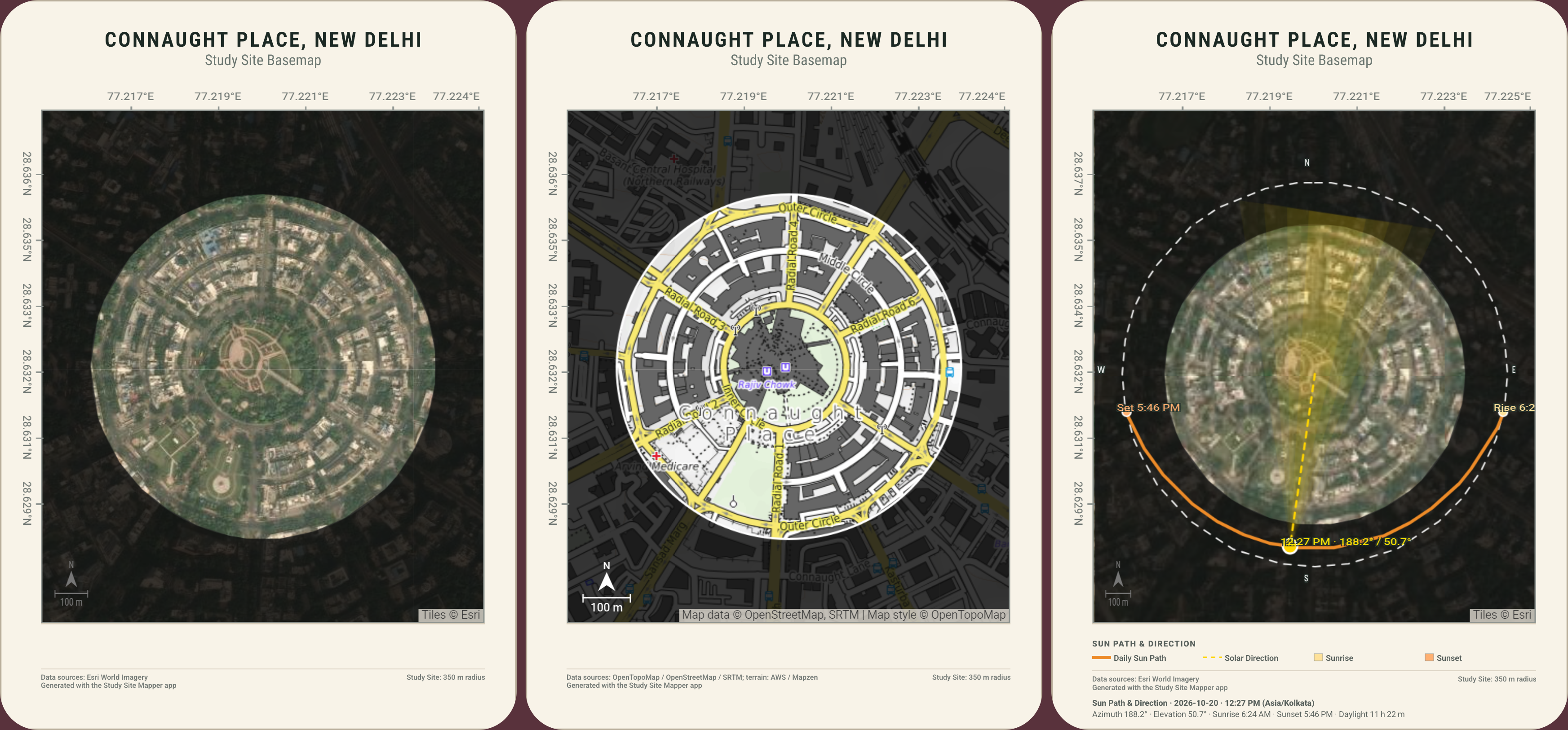
Choose a layout and basemap, then add your title and map elements.
Explore environmental, landscape, and socioeconomic layers for your site.
Switch between Main Map and Loaded Data for statistics, then save your project or export a PNG or PDF map.
Choose A4 portrait, A4 landscape, or a square plate to fit the way you present your study site.
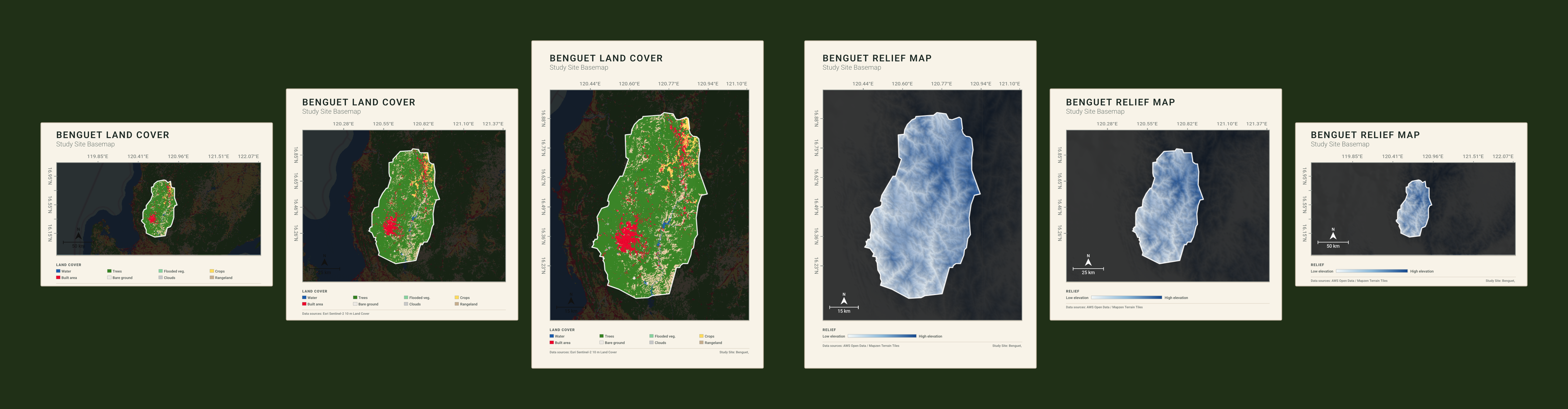
Start with a clean basemap. Add a focused data layer that helps answer your study question.
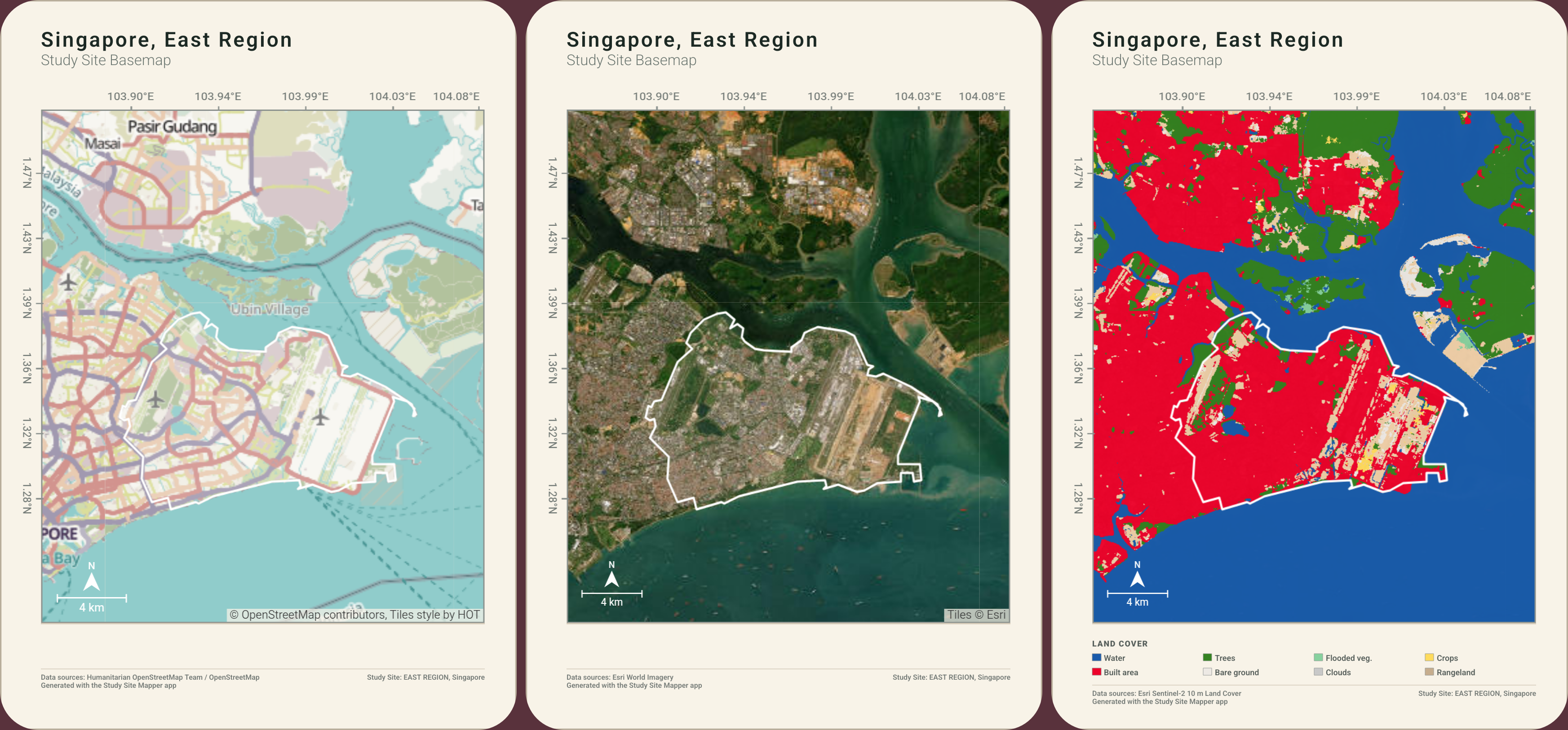
See ecological patterns and water features within your selected study area.
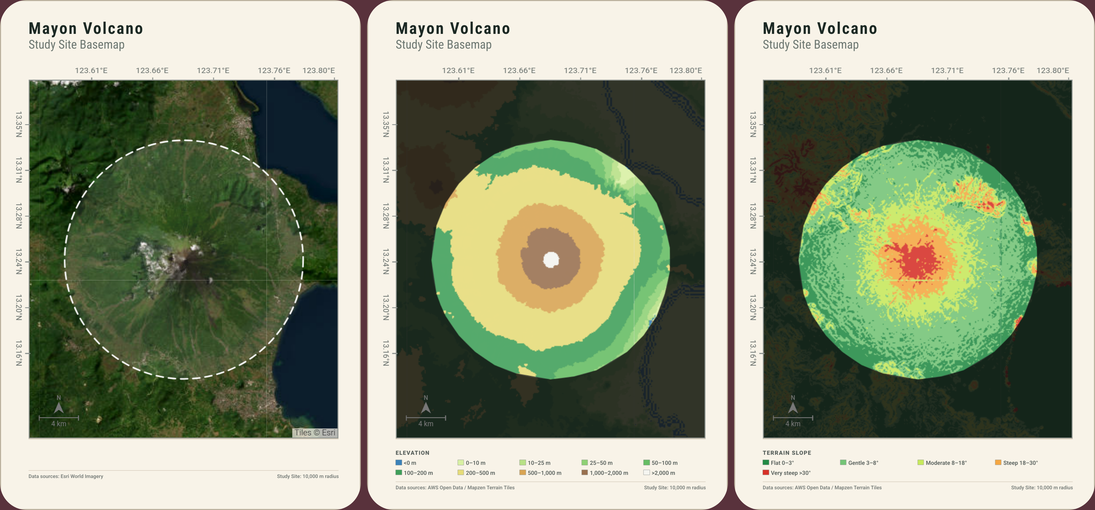
Bring elevation, slope, height, solar resource, and site orientation into view.
Explore population and building-use patterns with source notes and mapped-area statistics.
Main Map gives you the visual story: site boundary, thematic layer, coordinates, legend, and a composed page. Loaded Data brings in source notes and available statistics for the selected area.
Statistics are layer-dependent estimates and should be checked against source data for formal analysis.
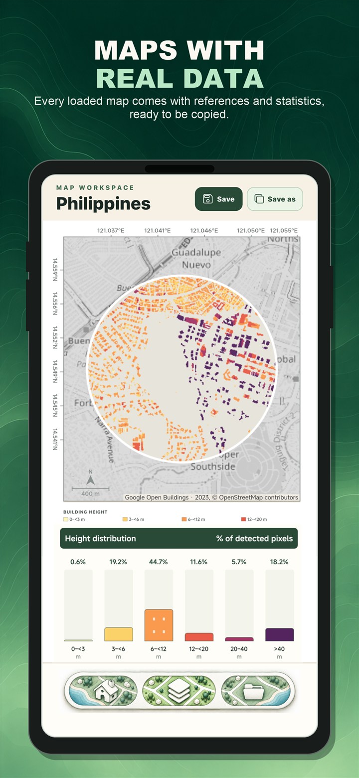
These are actual example map plates from the app, not stock satellite imagery or mock maps.
Build your next study area map with ready-to-load layers, mapped-area statistics, and professional PNG or PDF exports.