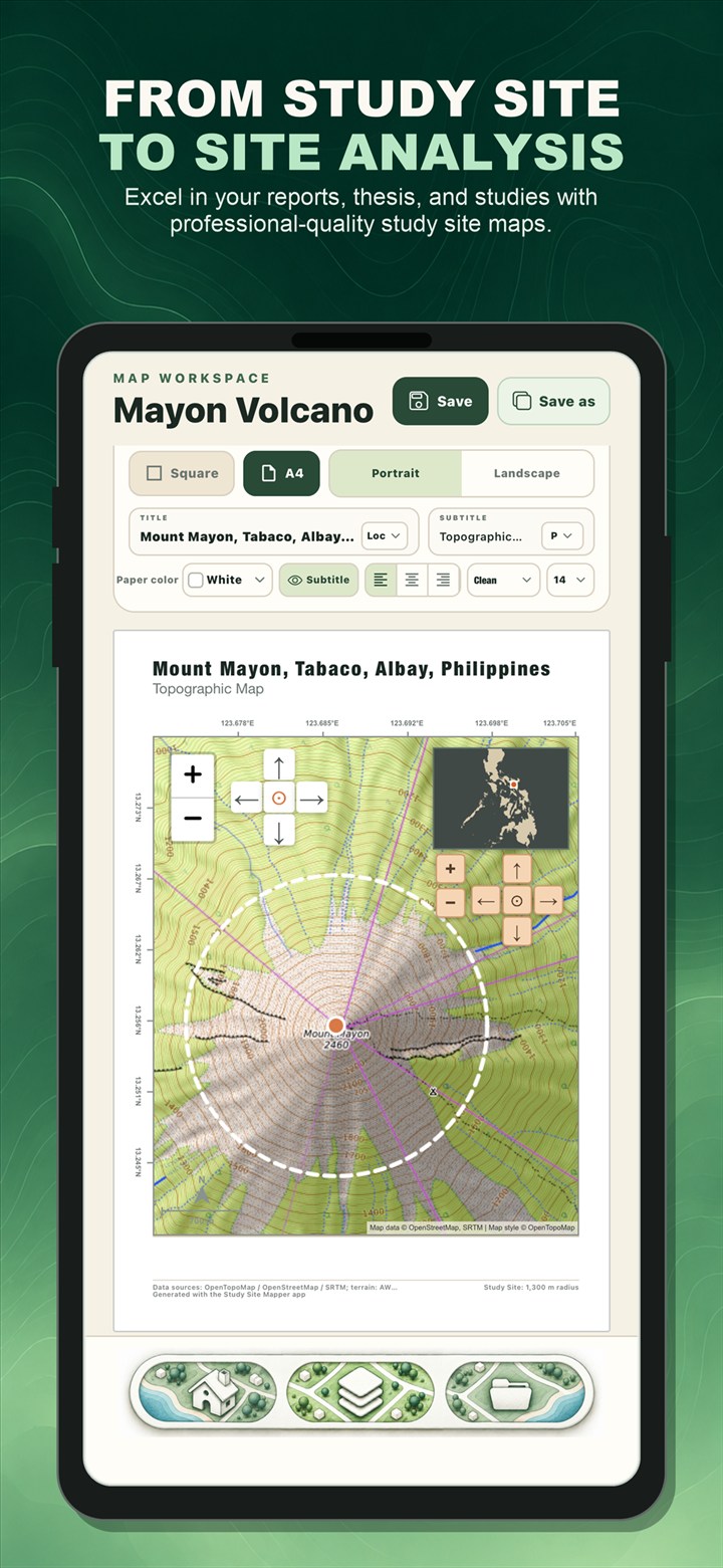
If you have searched for a study area map generator, an area mapper, or a simple map maker for research, you may have found desktop GIS tutorials that require several tools before you can export a usable figure. Study Site Mapper is designed for a faster mobile workflow: choose an area, build the map, review the available data, and export from one app.
Study Site Mapper is available on the App Store and Google Play. No app account is required.
1. Define the place you are studying
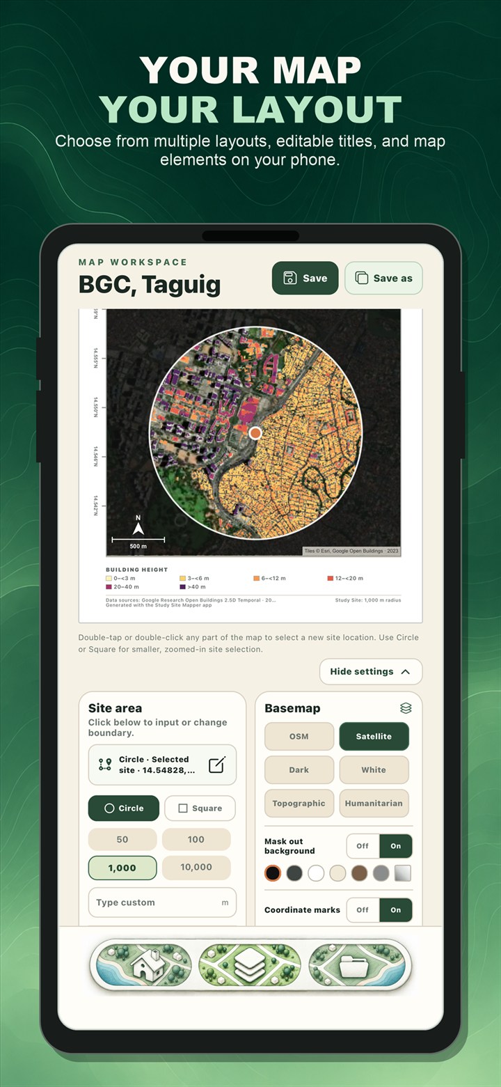
Start with the boundary that matches your research question. Search for a place, enter coordinates, choose an administrative boundary, draw a circle or square, use your current location, or import a KML file. A small, clearly defined boundary usually produces a more readable map and lets high-resolution layers load efficiently.
2. Choose the map layout
Open the Mapper workspace and choose the page format, basemap, study-area outline, title, inset, north arrow, scale, and other map elements. The live preview helps you compose the final plate before export.
3. Add a thematic layer
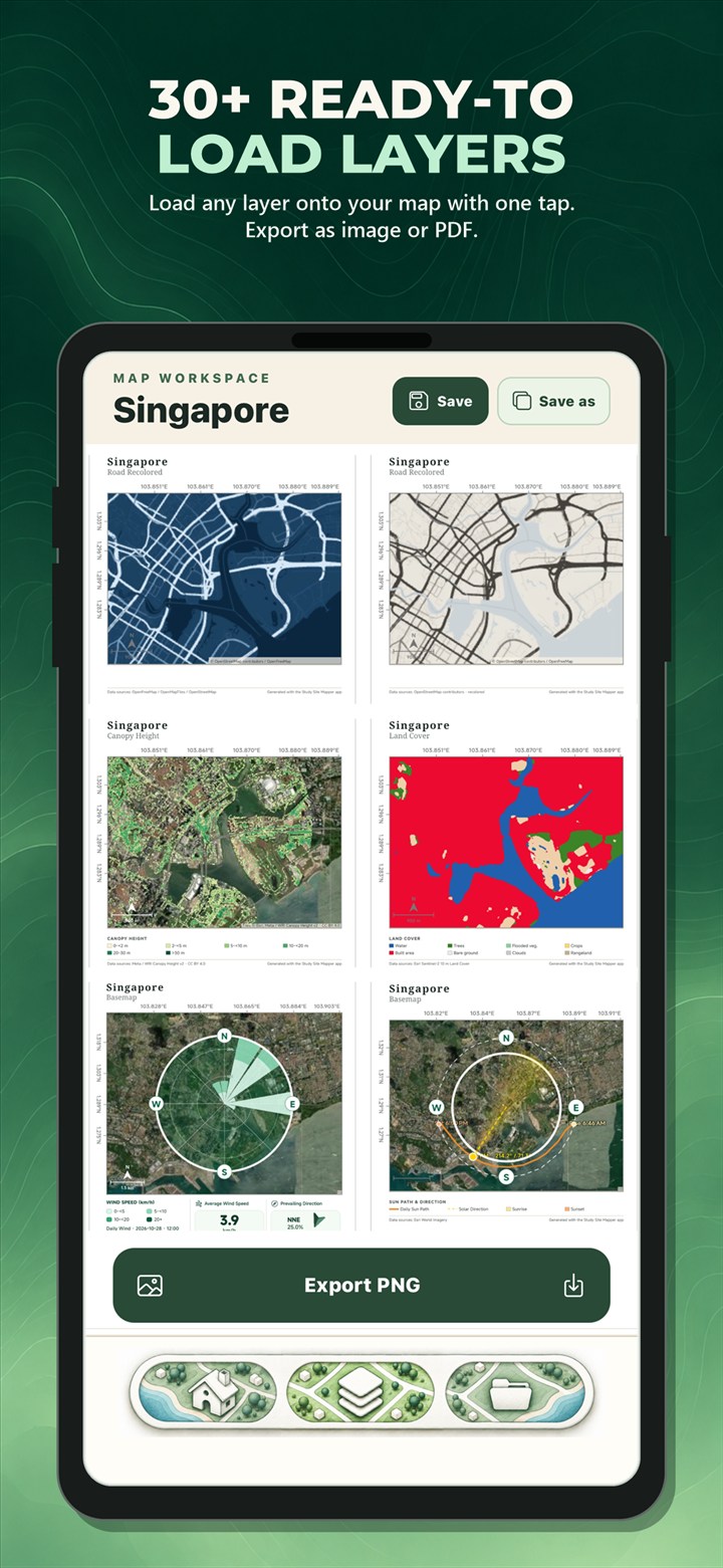
Select from more than 30 ready-to-load environmental, landscape, and socioeconomic layers. Options include terrain elevation, land cover, canopy and building height, population, solar resource, mangroves, seagrass, aboveground biomass, building-use classification, and more. Layer availability and resolution depend on the original source and your selected location.
4. Review the map and available statistics
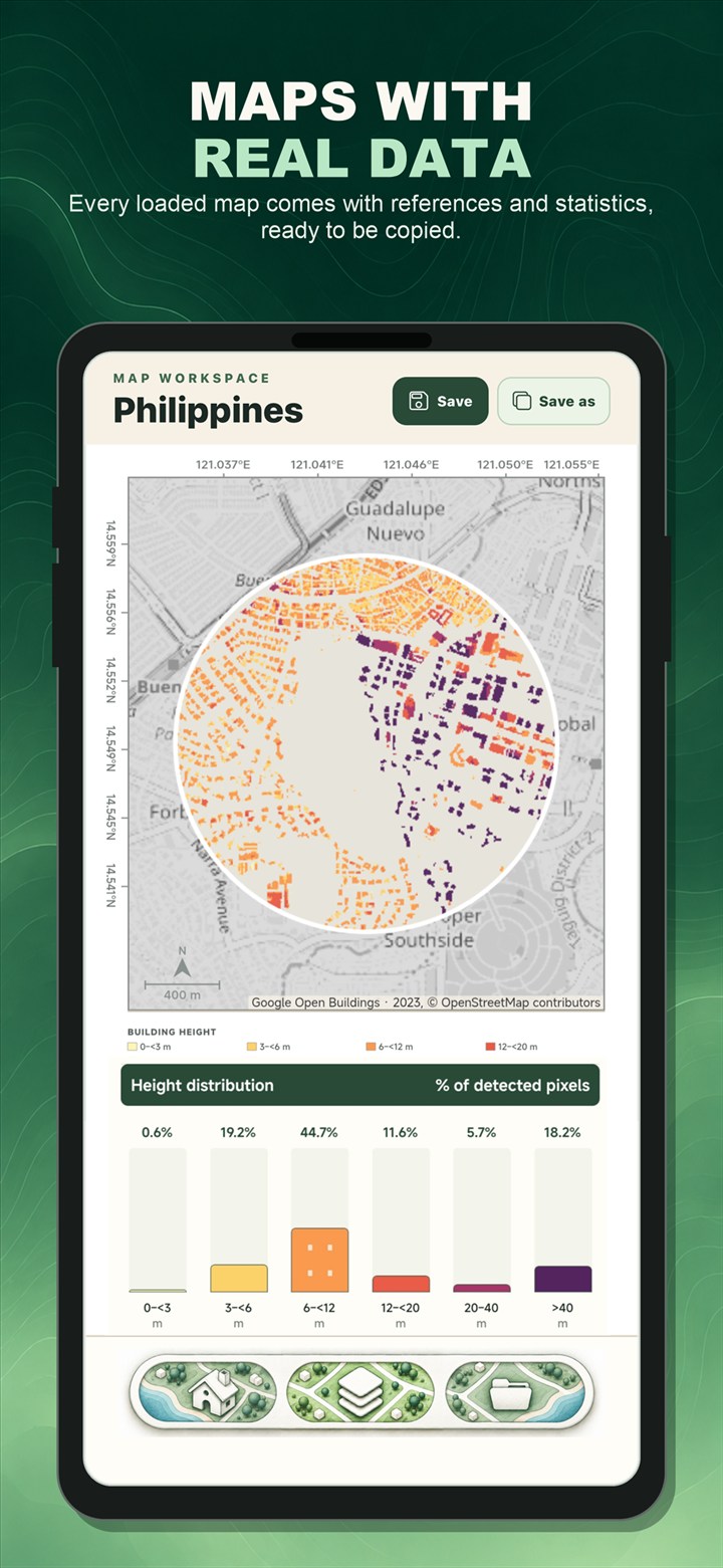
The Main Map shows the geographic pattern. Loaded Data presents available mapped-area statistics, charts, source information, and interpretation notes for the selected layer. This makes it easier to connect the visual map with the data behind it.
5. Export the finished study area map
When the layout is ready, export it as a PNG for slides and documents or as a PDF for reports and printing. You can also save the project locally and return to it later.
Where this workflow helps
Study Site Mapper can support a thesis or research report, a classroom activity, an environmental assessment, an architecture or planning presentation, field preparation, or a quick site analysis. It is built for clear communication, not to replace authoritative surveying, cadastral work, engineering certification, emergency response, or source-dataset validation.
Geographic layers are derived from third-party sources. Coverage, dates, resolution, and accuracy vary. Review the source and limitation notes in the app and verify critical results against the original dataset.

Ready to map your site?
Create a study area map, explore thematic layers, and export your work directly from your phone.
Download Study Site Mapper